
Era · 1894–1908
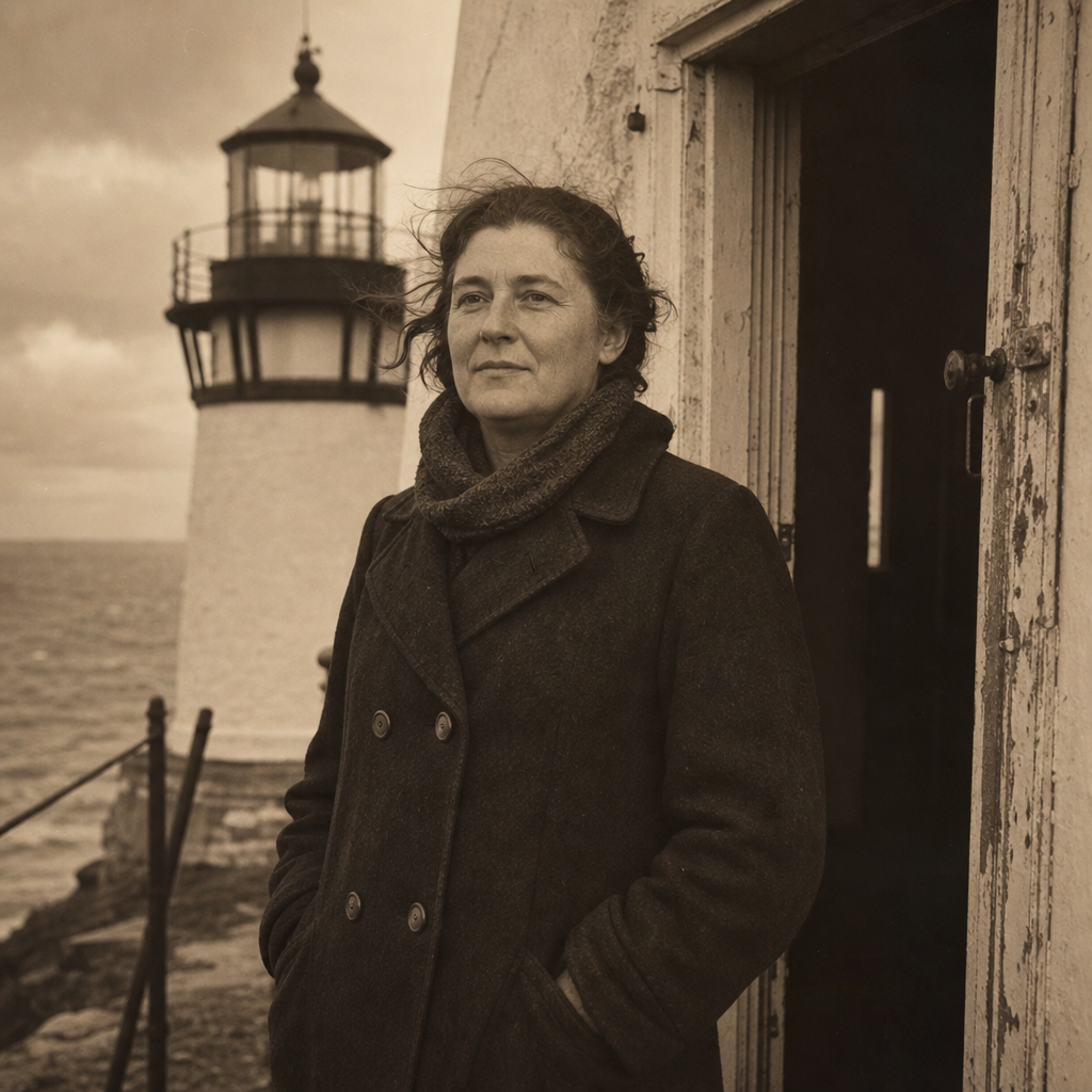
Elsie Hartwell
During three severe January storms, Hartwell recorded wick trims every two hours and stitched oilskin gloves by the stove so night rounds could continue through sleet.
NORTHERN SHORELINE ARCHIVE
Explore archive photos, keeper stories, and preserved towers that keep the coast’s maritime memory alive across generations.
Northern Coast Historical Overview
This timeline traces how navigation needs, engineering choices, keeper resilience, and modern stewardship shaped the northern shoreline.
Harbor fires and simple lamps gave mariners their first fixed coastal references during frequent fog and shoal crossings.
Stone and cast-iron towers replaced temporary lights, introducing stronger lantern rooms and standardized optics along the coast.
Keepers sustained isolated stations through storms, wartime blackout protocols, and gradual transitions to mechanized signals.
Community trusts and heritage groups stabilized surviving towers, preserving both structures and the stories tied to local maritime life.
Keeper stories
Notes from station journals and family recollections reveal long watches, weather logs, and small routines that kept northern lights steady through fog and winter surf.
Era · 1894–1908
During three severe January storms, Hartwell recorded wick trims every two hours and stitched oilskin gloves by the stove so night rounds could continue through sleet.
Era · 1921–1936
In letters to the harbor office, the Vales described timing meals to fog-signal shifts, with one resting while the other checked pressure gauges through dawn mist.
Era · 1947–1959
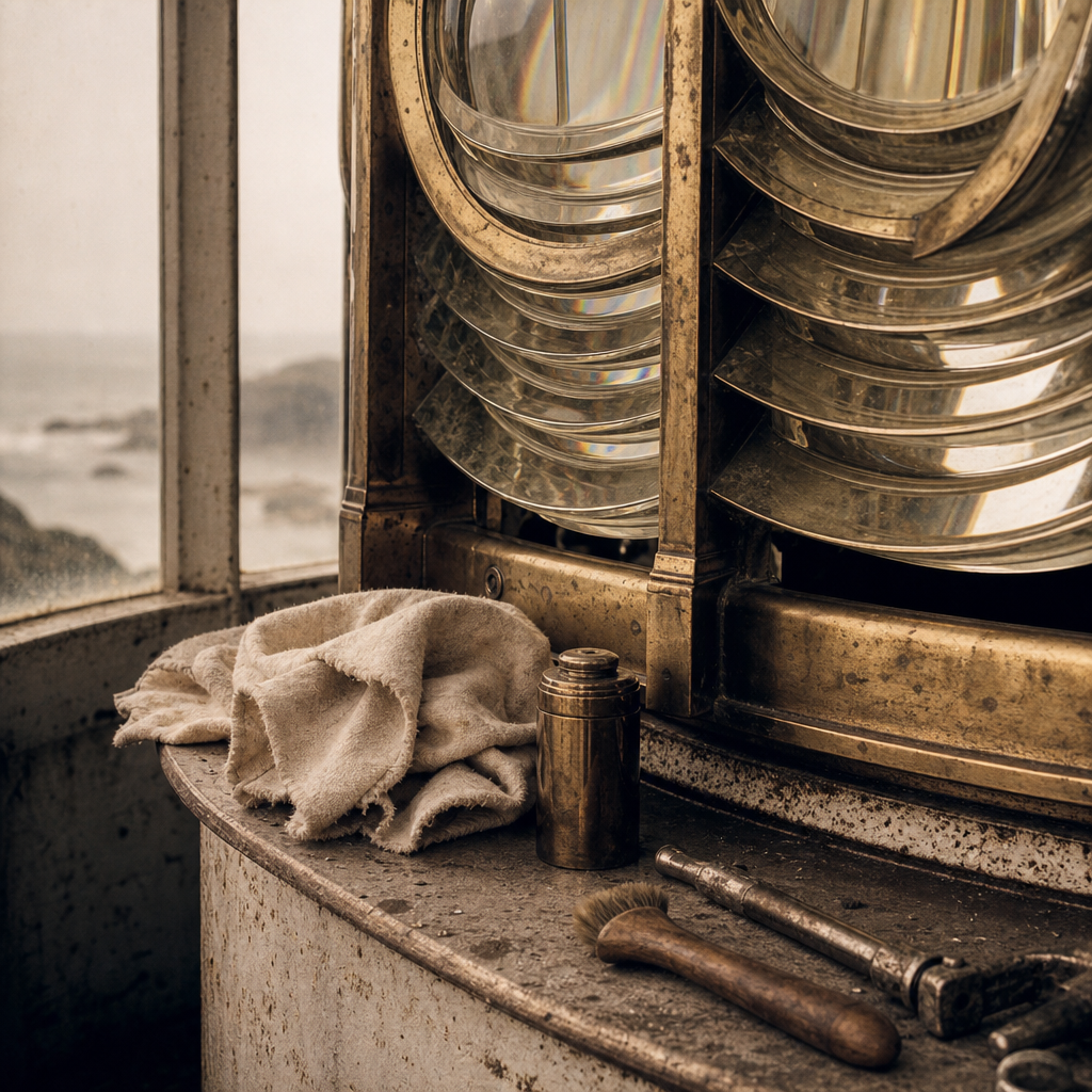
Soren's maintenance log notes that salt haze could dull the lens in a single week; careful polishing at first light became as routine as sounding the noon bell.
Archive record
Four preserved views, arranged like a documentary spread: exterior, interior detail, mechanism, and approach along the shoreline.
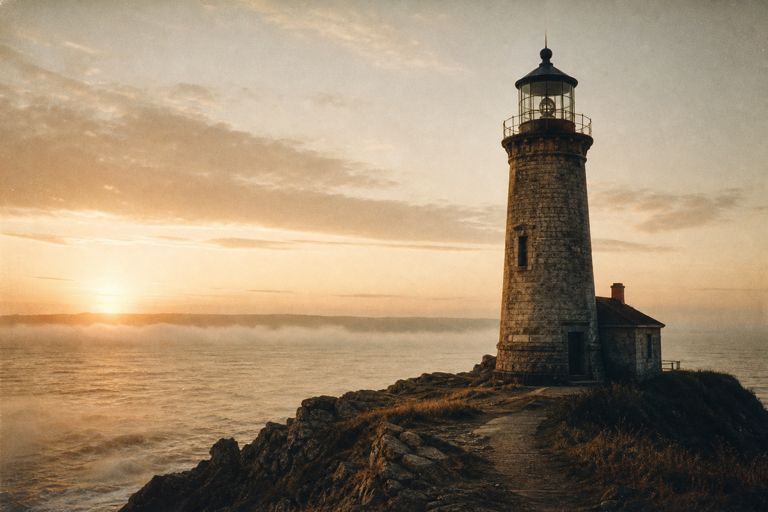
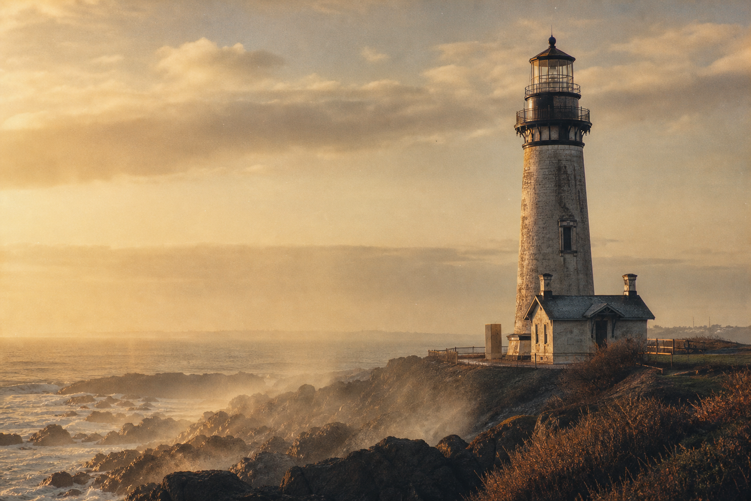
Tower exterior at dawn, when the beacon and shoreline first emerge from mist.
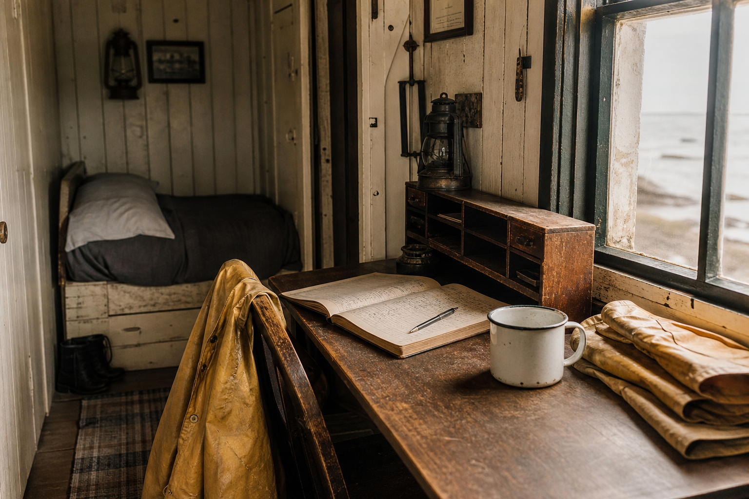
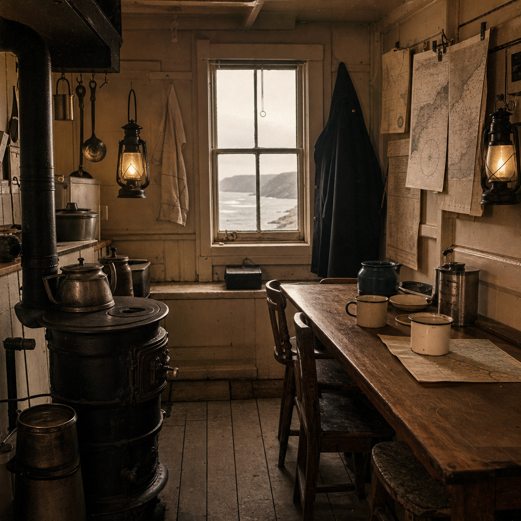
Keeper quarters detail: lived-in surfaces, notes, and daily routines.
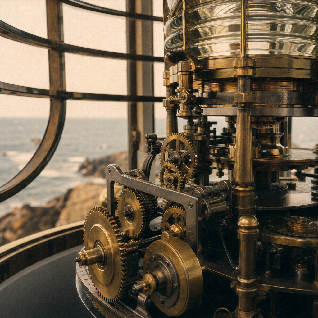
Lantern mechanism close-up, where precision kept the light turning.
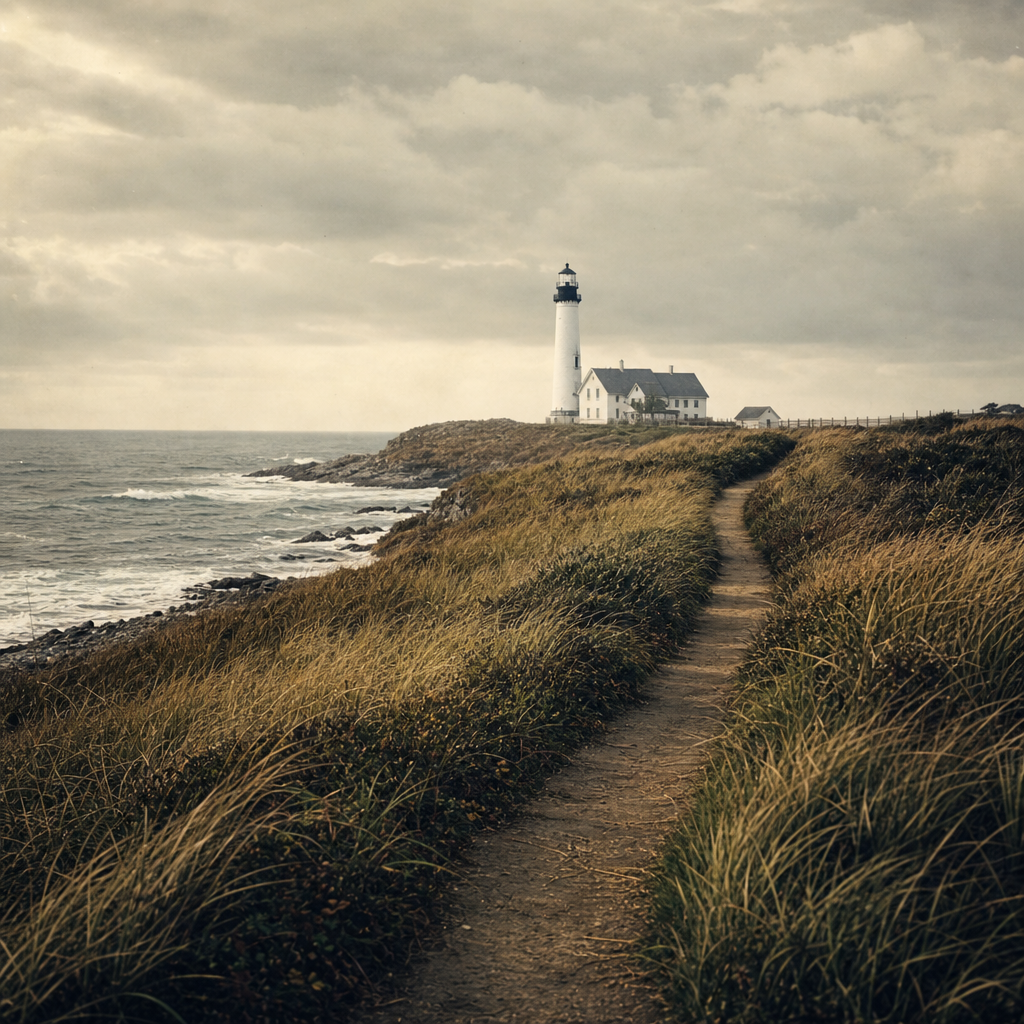
Shoreline approach view, tracing the final path toward the tower.
Preserved towers map
Four surviving lights anchor the coast’s shared memory—scan the shoreline, then follow each note for a practical heritage route.
Visiting Notes
Before heading out, review local access rules, weather conditions, and preservation practices so these coastal landmarks remain safe and protected for future generations.
No. Some towers are publicly accessible, while others are visible only from trails, roads, or water. Check local council or heritage listings before travel and respect all posted closures or private boundaries.
Conditions can shift quickly: wind, sea mist, and sudden rain are common even in milder seasons. Bring a windproof outer layer, stable footwear, and allow extra time if visibility drops.
Stay on marked paths, avoid climbing masonry or railings, and never remove artifacts, stones, or fixtures. If photography is permitted, follow posted rules and keep tripods clear of fragile edges.
Keep back from cliff edges, watch for unstable ground, and avoid wave-cut rocks during high tide or swell. Visit in daylight when possible and follow all warning signs from local authorities.
Start with regional maritime museums, local history societies, and staffed visitor centers near preserved towers. They often provide archival context, opening updates, and community-led walking notes.